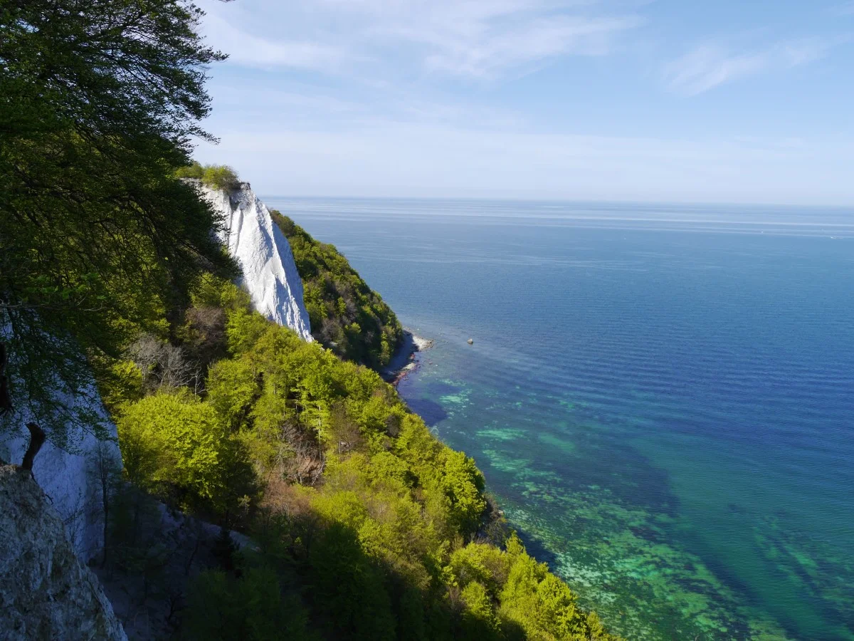
Rügen’s chalk coast is one of its best-known landscapes. Within Jasmund National Park, it is also a changing natural environment where marked routes and distance from the edge matter. Leaving the trail for a photograph or using a slope as a shortcut does not improve the visit.
Reach the destination on permitted paths
Choose an official starting point and consult the current visitor map. Decide which viewpoint or section fits the available time. The clifftop trail runs back from the edge. The park authority warns that informal tracks beside it disturb nature and expose visitors to serious danger.
A visible track is not evidence of authorised access. Nor does the absence of a fence mean the ground can be used all the way to the edge. Chalk and the layers above can collapse, while undermined ground cannot reliably be recognised from above. Respect markers and barriers even when they remove what appears to be a short connection.
Do not bypass a closure along the beach
A closed upper path should not be avoided by walking beneath the cliffs. Chalk, stones and trees can fall onto the stony shore. The hazard is not confined to storms: collapses can occur in fine weather as well. A photograph of people below the cliffs is therefore not a recommendation for your route.
With children, explain the limits before the first viewpoint. Looking at the map together can clarify why the group follows a loop when a destination appears directly below. Children do not need every geological detail, but they should understand that the visible edge is not a place to play.
Keep the outing proportionate
A short forest section and an authorised viewpoint may be enough for a first visit. Check opening and admission separately for specific facilities; a walking path and a paid visitor attraction are not the same thing. Arrange pauses so the return remains comfortable. Wet roots, uneven ground and steps can affect the pace.
Avoid woodland in strong winds because branches and trees may fall. Current notices take precedence over a saved route. If you encounter a closure, return to the last known permitted junction. In an emergency, signed orientation points help describe your position. Notice distinctive route markers as you walk instead of relying entirely on a moving phone location. This allows the landscape to remain the focus while the route stays understandable and responsive to the conditions.